
Another week, another frustrating lab. Such is life as a Geography major that wishes she wasn't. And man, that exam was kind of tricky.
Anyway, on to business. Above you will find my image for Lab 5. I constantly refer to the Virginia/DC/Maryland area as the DMV. Don't know if that's just a "youth" sort of term, but hey, now this map becomes an "Urban Dictionary" of sorts because it sort of deciphers what the DMV might mean (it's not always the Department of Motor Vehicles!). For some reason the county and state lines were thicker than I wanted, and of course I couldn't figure out how to make them thinner. So it kind of made labeling the map rather tricky. Oh well, you win some, you lose some. Looking back, I should have labeled the District of Columbia as "D.C.", or changed the title to say "District of Columbia" to maintain consistency and reduce confusion for anybody not from around here that would be looking at this map, but I really don't have time to go back and fix it now. I figure the intended audience (this class) knows that the terms are interchangable and D.C. is nothing more than an acronym anyway.
Figuring out the scale was a little tough, too. I ended up going to Wikipedia to find out how long Virginia was, and turning on the ruler in Illustrator to see how many inches long the Virginia on my map was, and going from there. Therefore the scale is a serious approximation, seeing as how my math left me with a very very very long number. I like rounding things.
Oh, and uh...well, labeling the states was proving a little too frustrating in Illustrator, so I got creative and found my own way to do it. I'll just keep that little secret to myself. All that matters is that it's labeled, right? I think improvisation is a great skill to have. *wink*
I guess I need a map of the week, too? Hm. Here's a "Visitor's Map" of D.C., filled with symbols, images, and information.
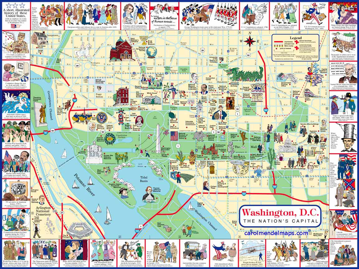
Is it bad that posts on here are easier to edit in HTML than in the regular editor? Peculiar. Click on the image above to see the full-size map.


No comments:
Post a Comment